About the client
Trapeze Group works with public transit agencies and their communities to develop and deliver smarter, more effective public transit solutions. Their business is to deliver the best in technology, systems and services needed to automate the many tasks involved in supporting, building, managing and measuring better transportation services, including the development, installation and customisation of software for public and paratransit operators.
The challenge
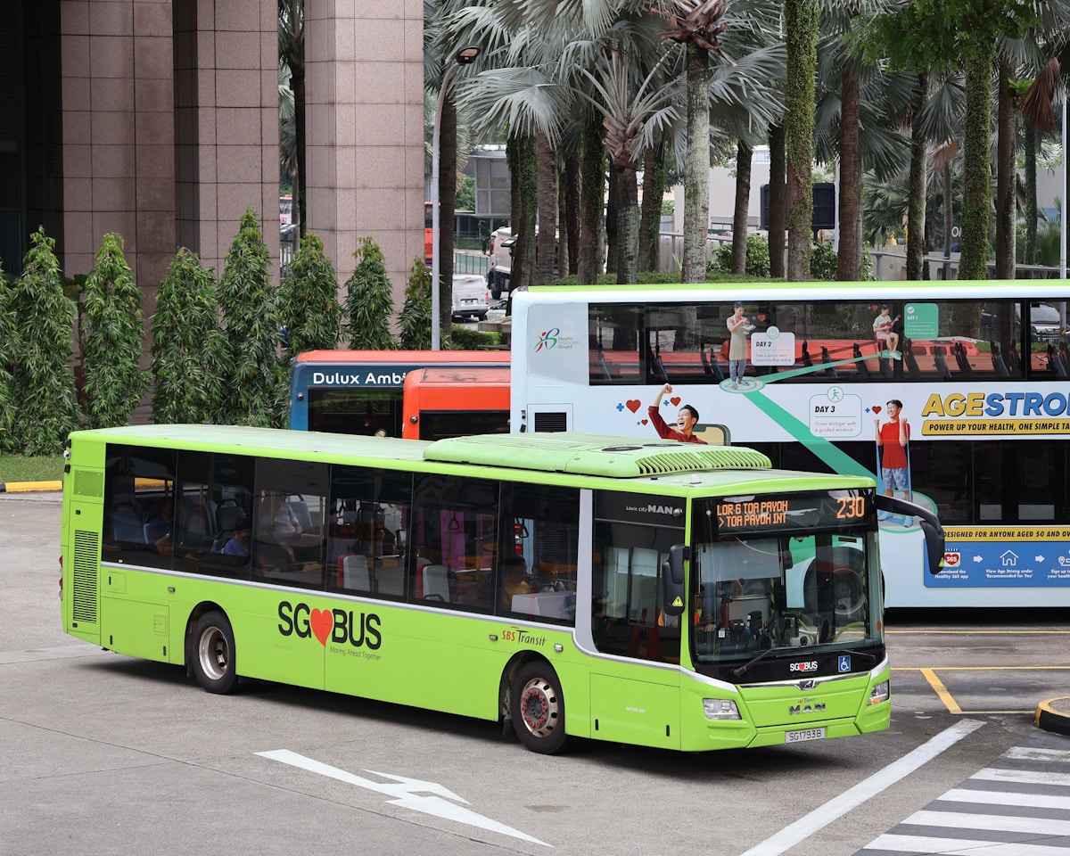
Public transport is an essential part of day-to-day life, so its efficient management is crucial for cities whose people depend on it. Transport authorities set up control centres to monitor vehicles, send commands and collect data, then process it for scheduling, route optimisation, staffing, asset management, reporting, analysis and decision-making.
What we delivered
We worked with Trapeze to understand, design, develop, test and maintain several applications used across the transport domain by both Transport Authorities and Operators.
Mileage Processing System
LilySys played a key role in developing a web-based solution for trip management and graphical performance analysis — the backbone of Trapeze's product offerings to transport giants across the globe. It replaced an existing desktop application with a modern web application, adding features for an easier, more engaging experience. It gave Transport Authorities anywhere, anytime access to manage operators, routes and contracts, create exclusions and bundle routes into packages. It also shields Operators from monetary losses by letting them provide reasons for missing trips so they are counted into mileage delivered — filling gaps in the observed data caused by hardware faults, old data, driver error and more.
Geo-Spatial Analytics
Maps are integral to the applications, letting Transport Authorities and Operators view and track vehicle paths in real time. This helps them identify and act on issues such as congestion, detours and over-speeding that can impact quality of service. Users can also replay vehicle movements to analyse performance and investigate reported issues.
The outcome
The platform now underpins Trapeze's offerings to transport authorities including LTA Singapore, LBSL London and ADA Riyadh — delivering real-time visibility, accurate mileage accounting and engaging, web-based tools.
Have a similar challenge?
Tell us what you're working on — we'll help you scope and ship it.
Start your project